Bike routes, trail runs, hiking trails, ski slopes, toboggan runs, area maps ... whatever map or route in or around Wengen you may be looking for, you are sure to find it on this page.
Summer maps
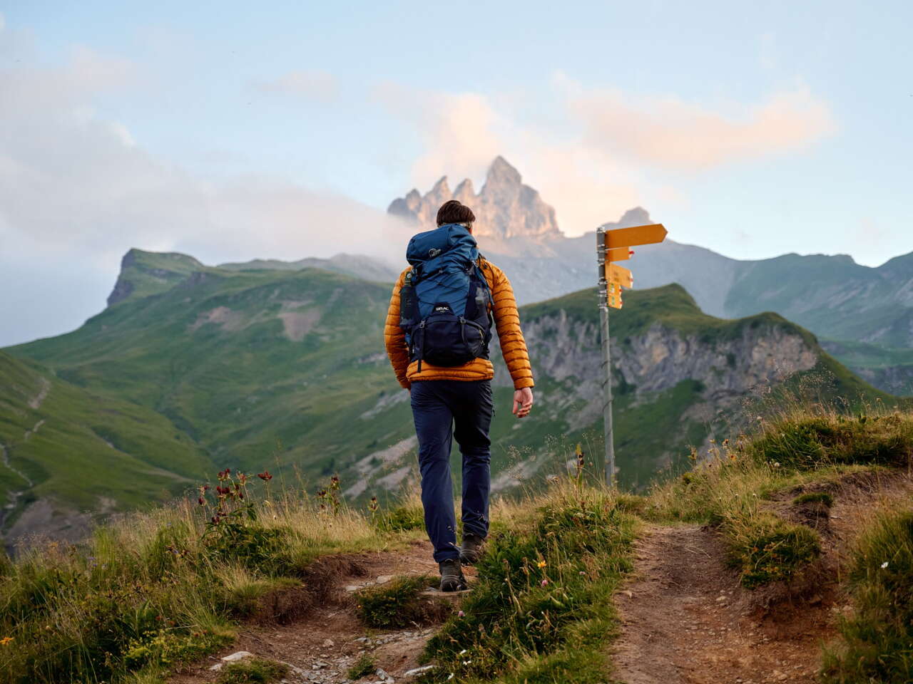
Bike routes, trail runs and hiking trails
Mountain bikers, racing bikers, runners and hikers alike: They will all find the complete array of Wengen tourist maps for the summer season here.
Winter maps
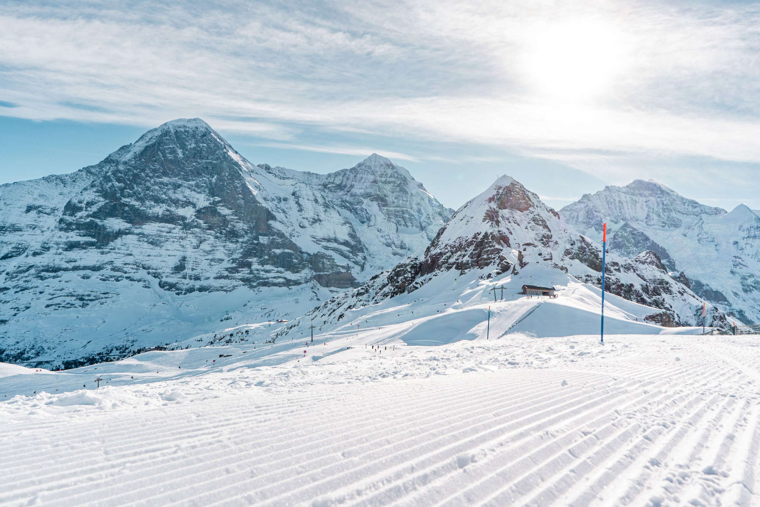
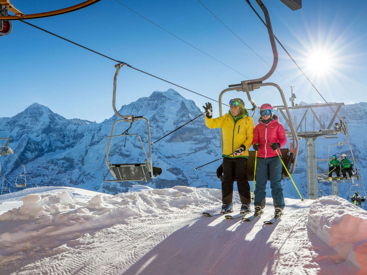
Ski slopes, toboggan runs, hiking trails
Skiers, snowboarders, tobogganers, trail runners and hikers alike will find the complete array of Wengen tourist maps for the winter season here.
Local map
Where to find what?
Where is the tourist information centre? How do I get to the train station? What’s the nearest pharmacy? This map of Wengen will answer these and other questions for you.


